
Towards the end of 2013 I moved to a new apartment in the Surrey town of Woking. I have lived in this area for over 20 years, albeit with significant periods overseas in Asia and Continental Europe. The location is great from a logistic point of view with trains to the centre of London every few minutes (the journey takes about 30 minutes), buses to Heathrow twice every hour and the M25 is only ten minutes away. One of the first things that struck me when I looked out from my new home was the close proximity of some impressive Surrey countryside. I took the following picture from my lounge looking toward the South East.
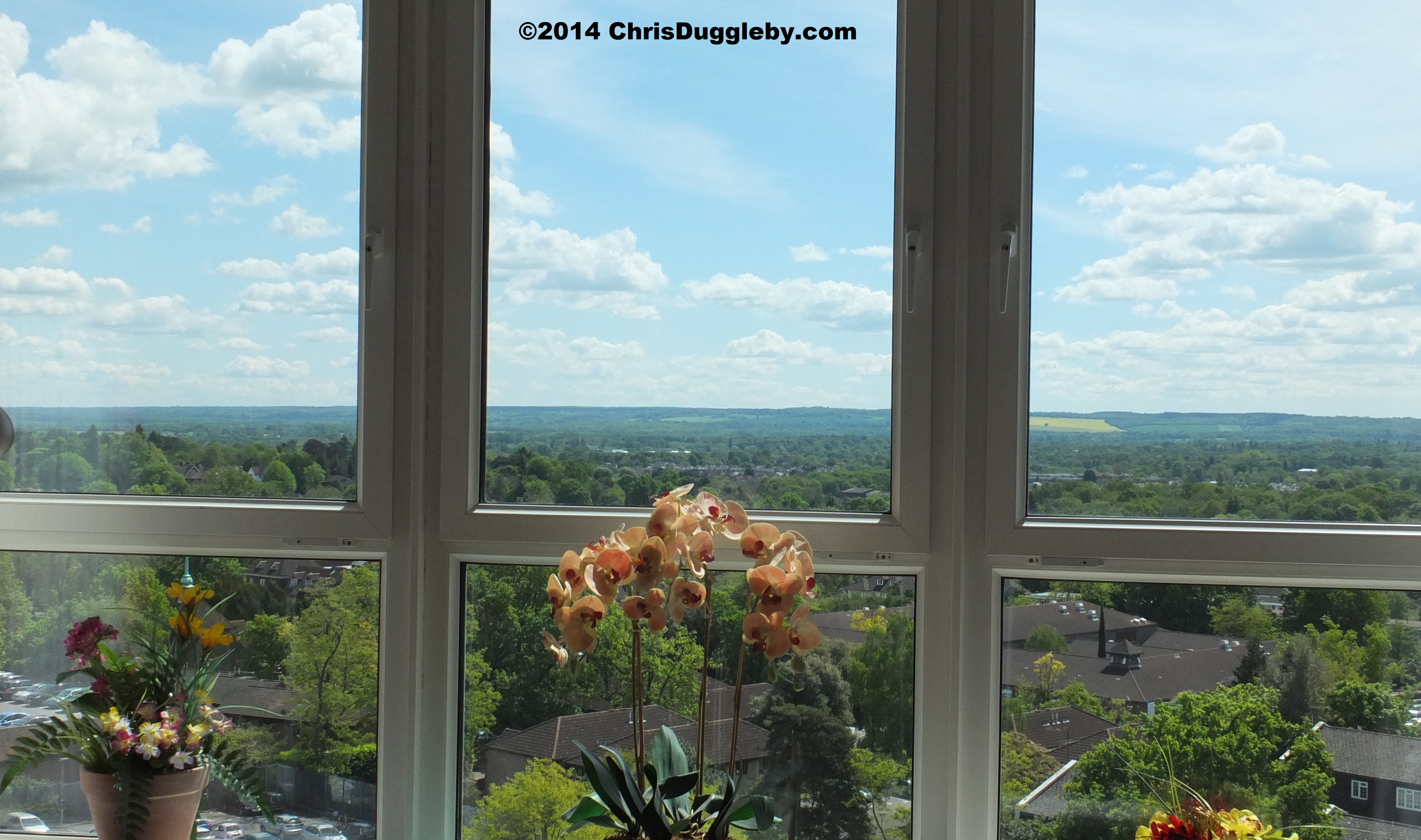
And from the other side of the apartment (looking South West) the views were similarly breathtaking.

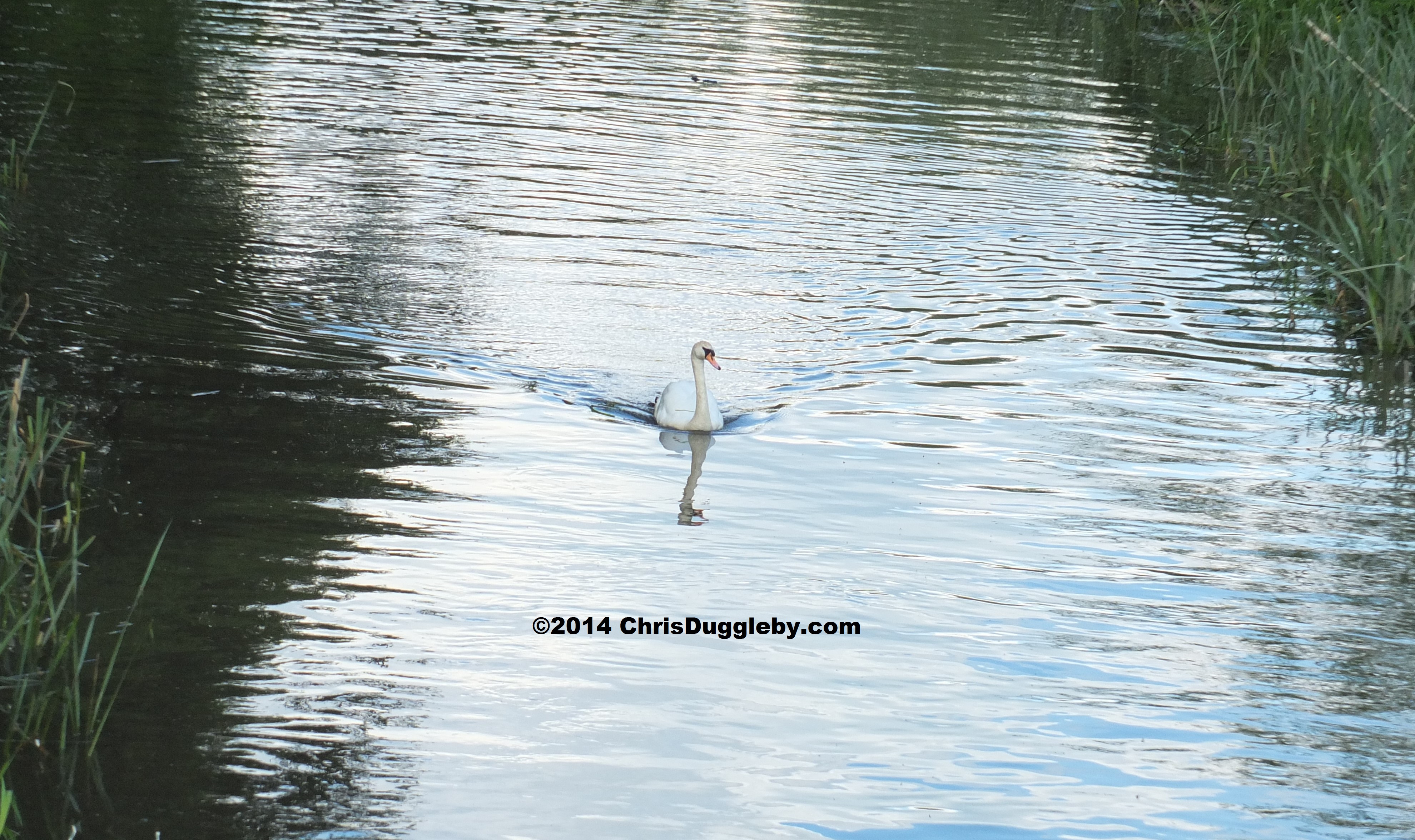
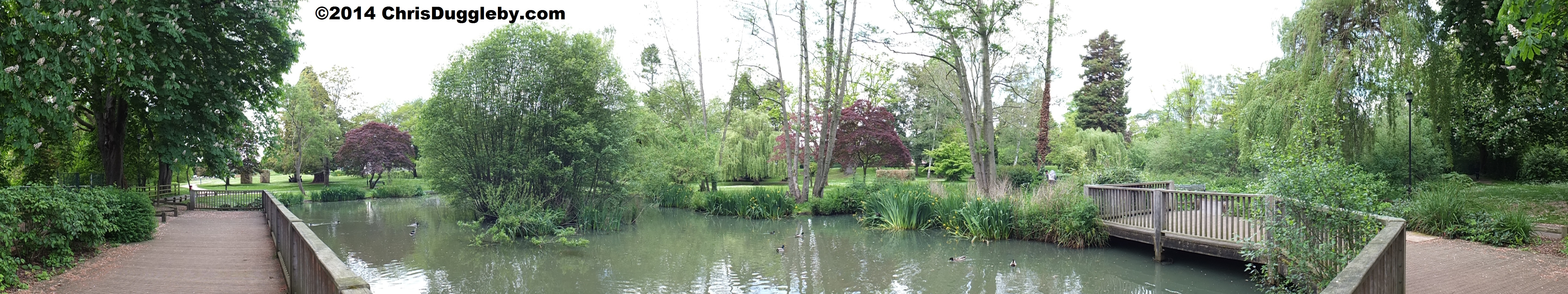
To maintain my personal war on flab I decided to burn some calories by exploring this countryside on foot. If you happen to live in Woking or perhaps plan to pass through the town I am including some simple instructions to allow you to also enjoy these walks. This week’s blog features a walk which introduces some of the town’s mediaeval monuments. If you start from Woking station just follow the signs to Woking park which is about 5 minutes from the station by foot. When you get to the park look for the duck pond.
Next to the duck pond is a skateboard area. If you face the sign at the front of the skate board park and look immediately left you will see a gap in the bushes which runs along the Hoe stream. The pathway is not signposted but it is a public footpath. Surrey is full of hidden footpaths – you just need to know how to find them.

The first time I discovered this path I was amazed to find such a tranquil country walk in the middle of this busy metropolis (and there are a few other little walking treats that I hope to share with you in future blogs).

Hoe stream has a number of footbridges over it but keep walking on the right hand side of the stream away from Woking Park. This will take you across the Old Woking cricket ground – just walk around the edge of the ground following the stream and leave the ground by the path to the left of the pavilion. Continue walking along the stream-side path which will then take you past some allotments and across Hoebridge School playing fields.

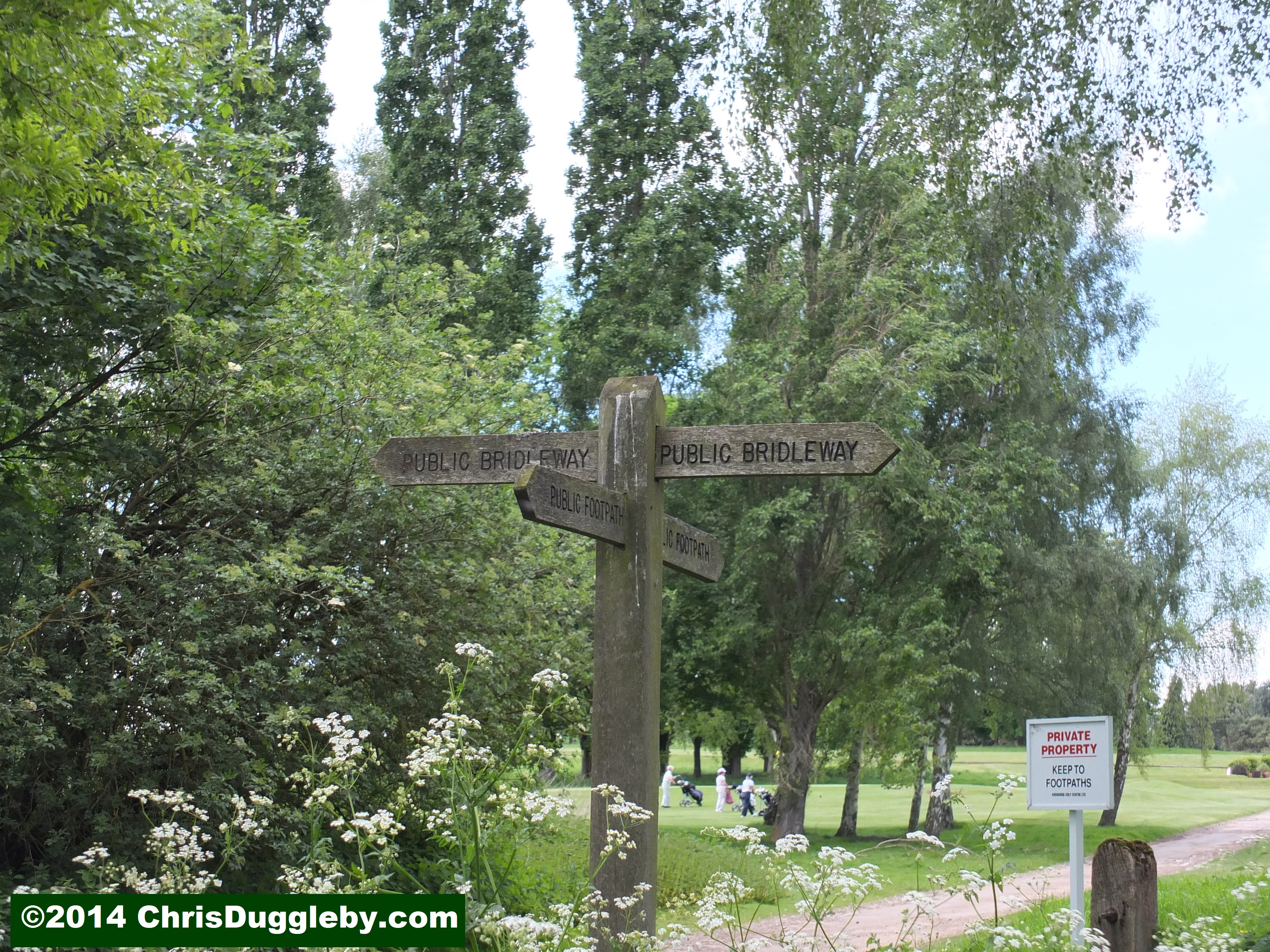
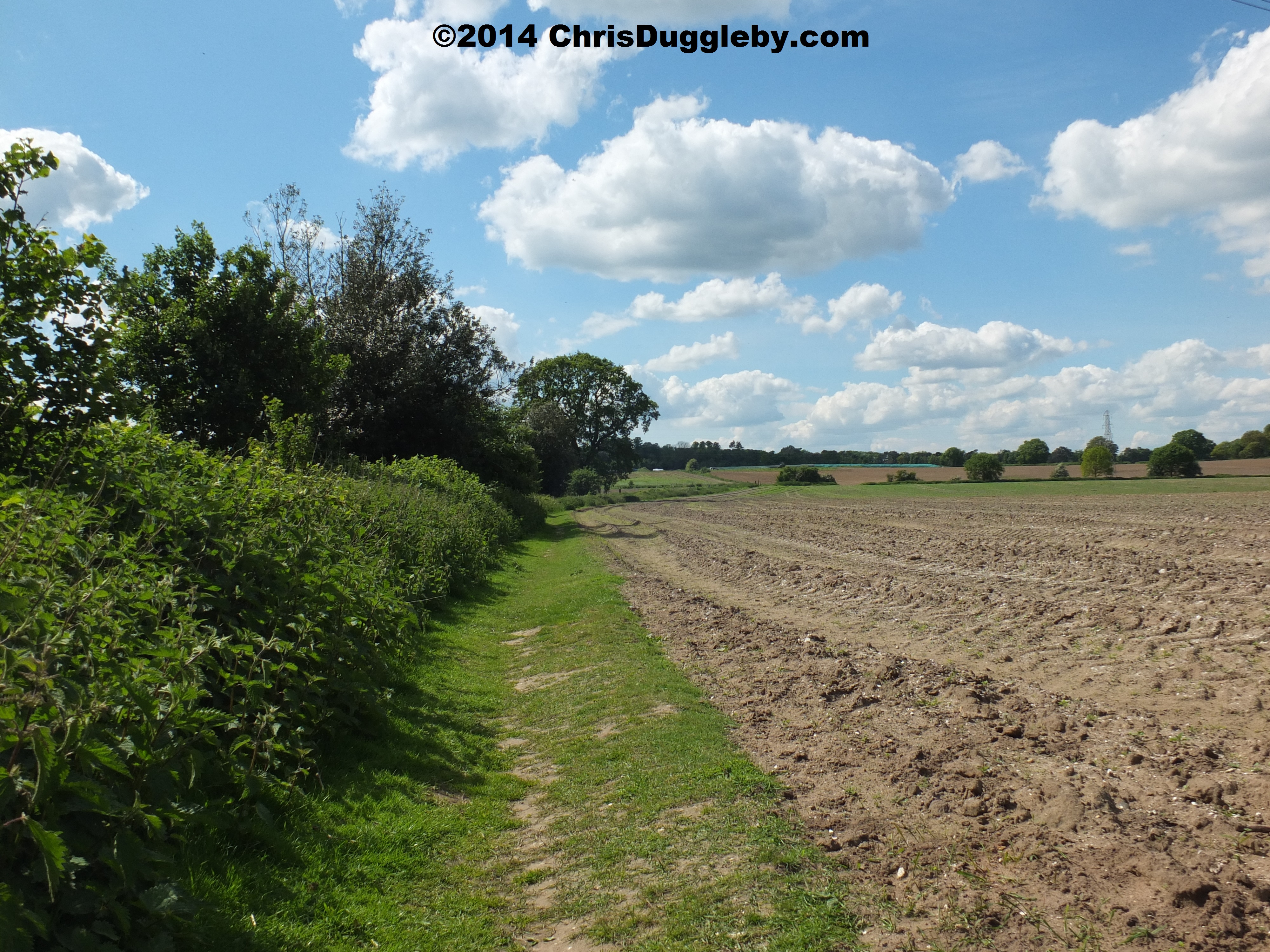
Just after you cross the school playing fields the path by the stream comes to an end at a rather busy road (B383). To continue you will need to cross this road – I find the safest place to cross is opposite the entrance to Hoebridge Golf Course which means you will need to walk left along the road, round a sharp bend for about 200 yards. Then you can cross in-front of the main entrance to the golf course with a clearer view of traffic in both directions. As soon as you enter the golf club road take a sharp right towards the business centre. Just before you reach the business centre on the left is a public bridleway which may be hidden behind a parked car. There is no sign post at the entry to this path but the photo below will help you identify it.

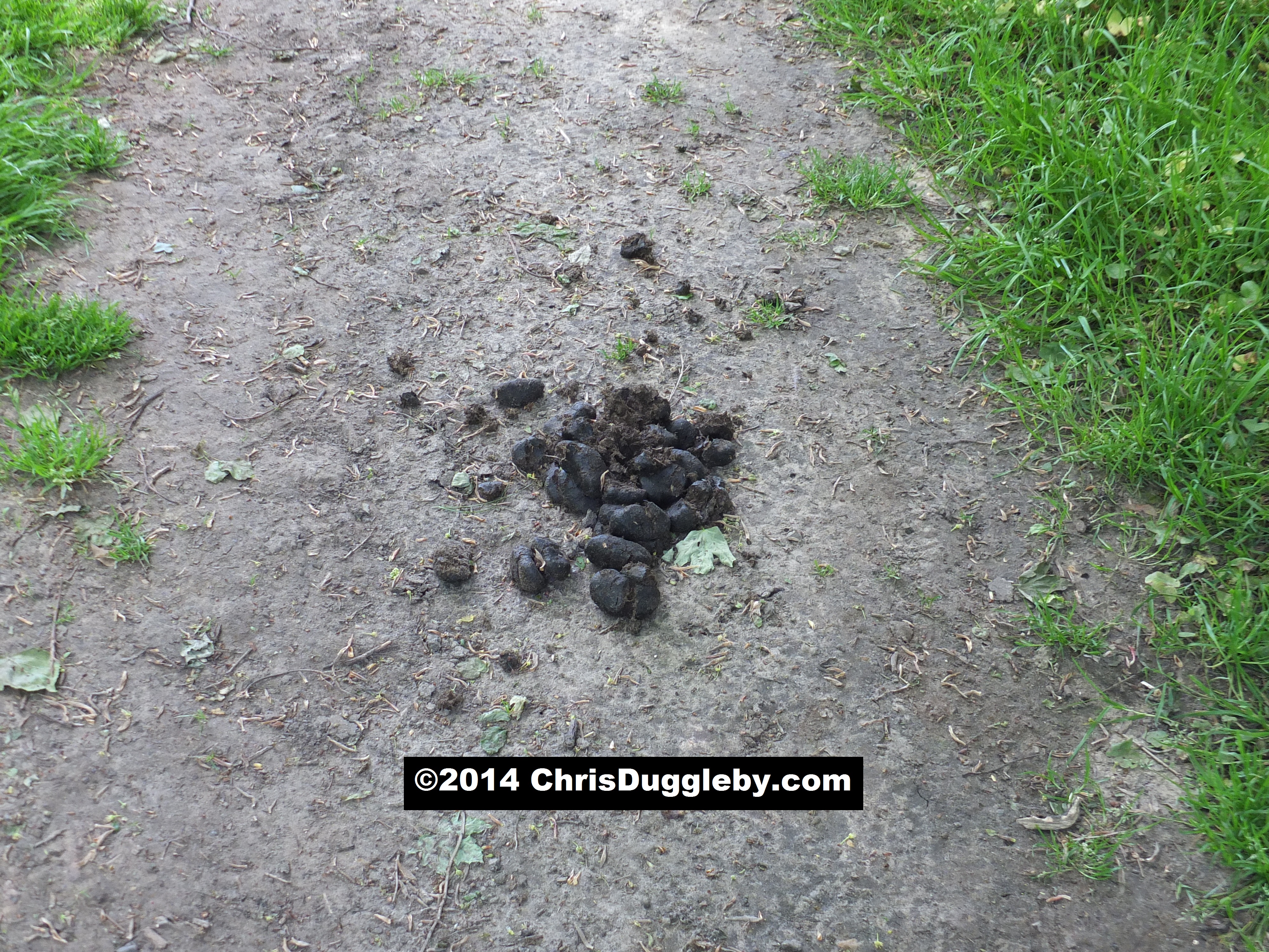
Since this is a bridleway you will be sharing the path with some four legged friends. Although I rarely see them in the flesh I am aware of their presence by the fresh little presents they often leave on the path. Watch where you tread!
Where the public footpaths cross the golf course there are some more prominent sign posts – no doubt to help ramblers avoid accidentally strolling across the greens. For today’s trip I recommend you stay with the bridleway.
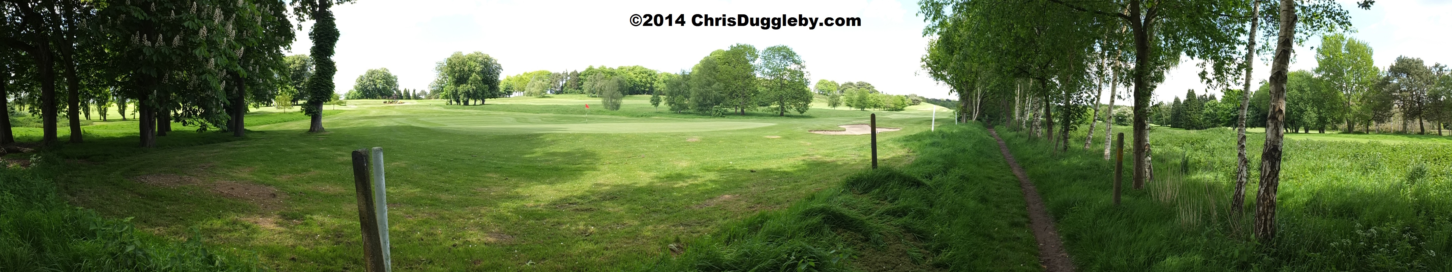
On this part of the walk you get some nice views of the golf course as well as the Surrey countryside. I have tried to capture these in the following two panoramic shots. Click on the pictures to see more detail.

In addition to horse poo you will also need to keep an eye open for rabbit holes along this path. The soil is very sandy and there are literally hundreds of rabbits which will scatter down their holes as soon as they hear you approaching.


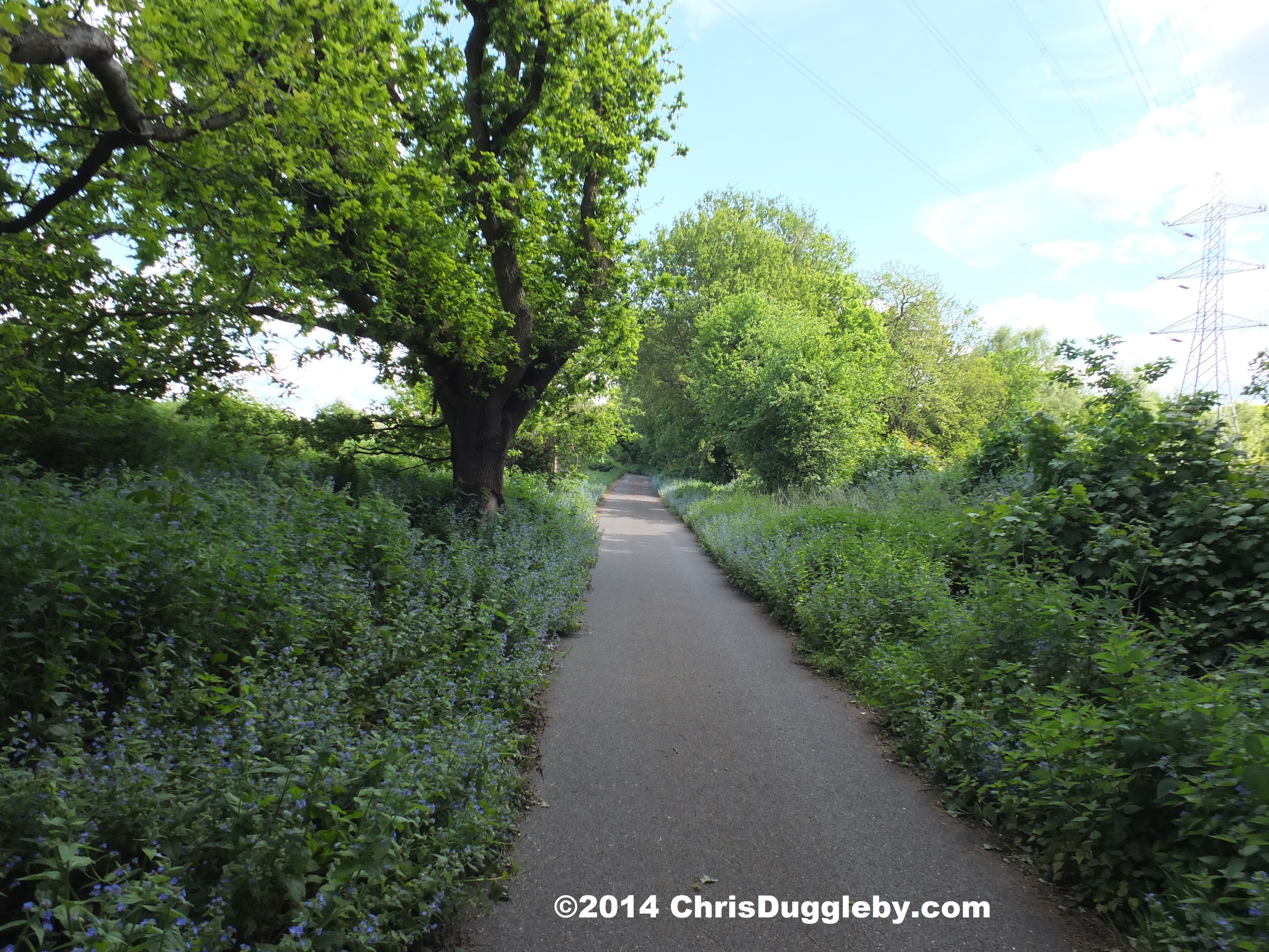
As you move beyond the golf course you will find wooded areas on your left and open fields to your right. If you make this trip in spring you will be able to enjoy carpets of blue bells in the wooded areas.


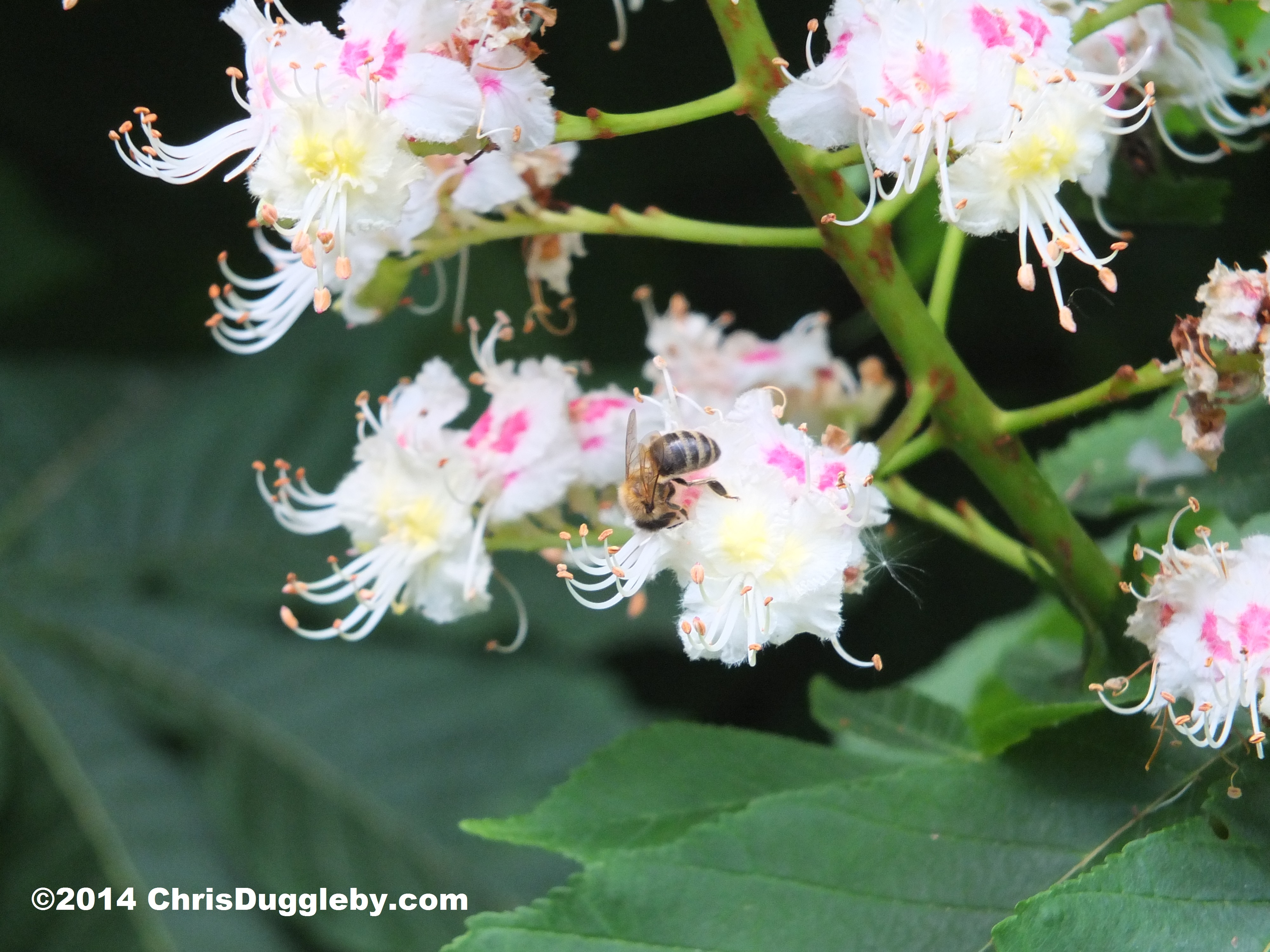
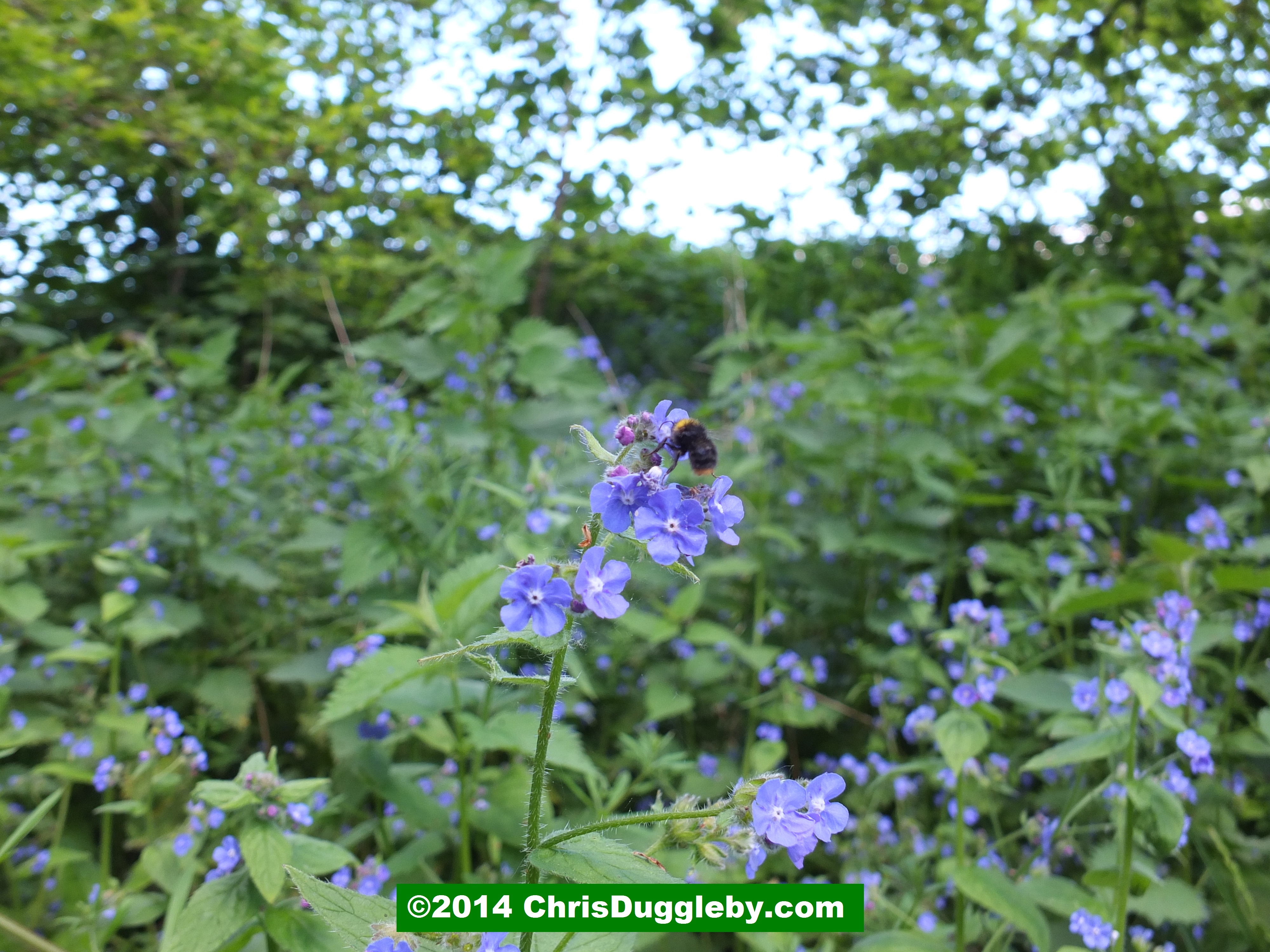
As there are a lot of wild flowers and bushes growing along the path you can also spot plenty of bees going about their work.
Depending on the time of year and the amount of rainfall the path can become rather muddy in a few places. Sharing it with horses and the occasional mountain biker also adds to the slosh. So if it has recently been raining make sure you have some good waterproof shoes (or wear washing machine proof trainers!).

Eventually the bridleway through Hoebridge Golf Course brings you to a fairly quite road (the B367 – there are cottages on the left as you get to the road). Cross this road and you will see a sign for another bridleway opposite leading between fields with silage mounds on both sides of the path. Continue on this path until you reach a wooded area on your right and turn right just before the woods along a footpath. Keep going on this footpath past the woods (now on your left), through more fields and eventually you reach another public footpath sign. Turn right here and continue until you reach another sign pointing left across the right side of a field. This will take you to another quiet road (Warren Lane) and if you look back you will see the view below.

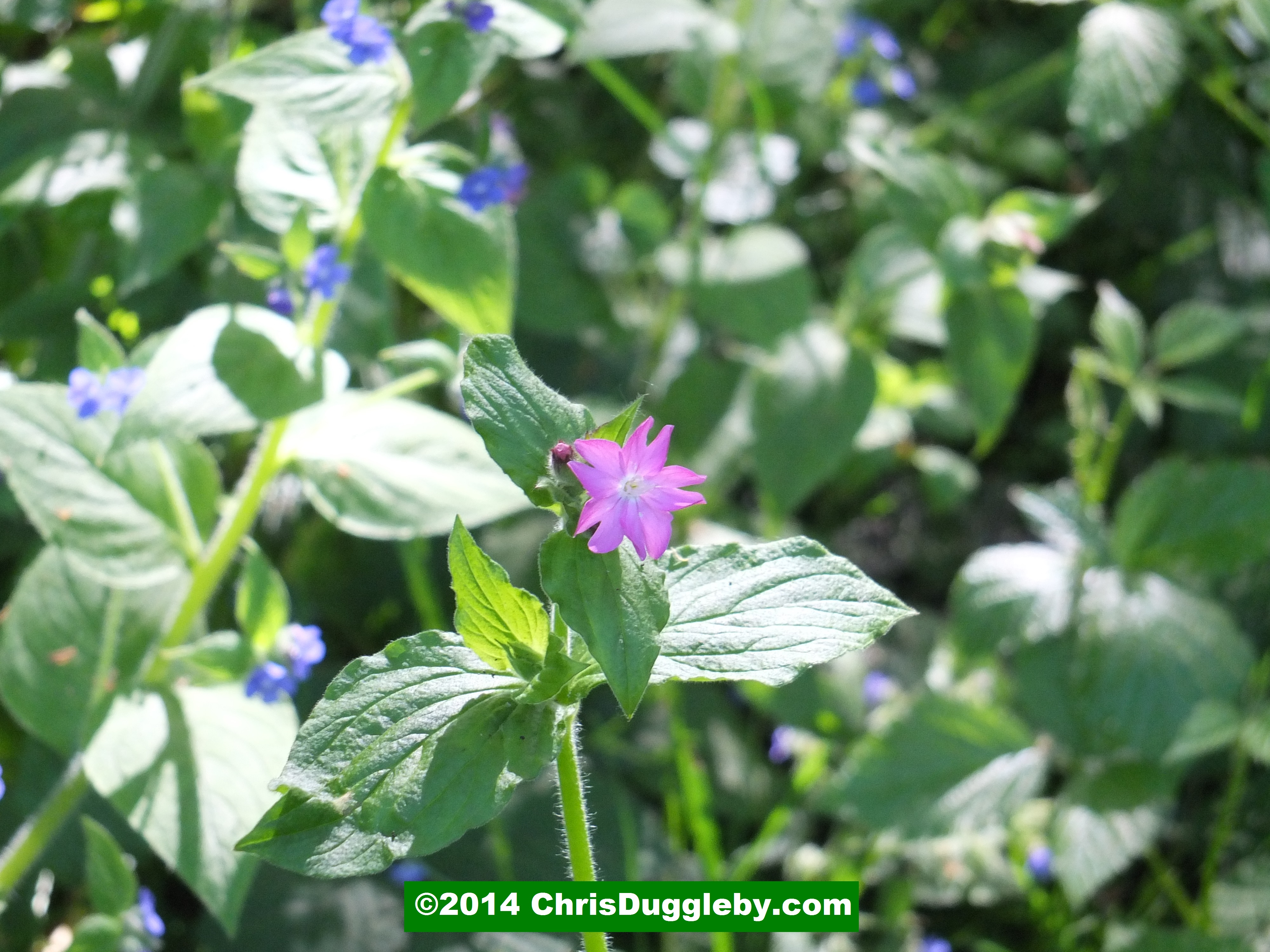
At the opposite side of the quiet road is another golf course (well this is Surrey!) – Pyrford Golf Club. There is a somewhat hidden hole in the bushes which, if not overgrown, will allow you to walk along the edge of the golf course (turn right after the gap in the fence). Alternatively just walk right along the quiet road until you reach a country lane on your left which runs along the edge of the golf course. This lane is pictured below (followed by close-ups of some of the blooms).

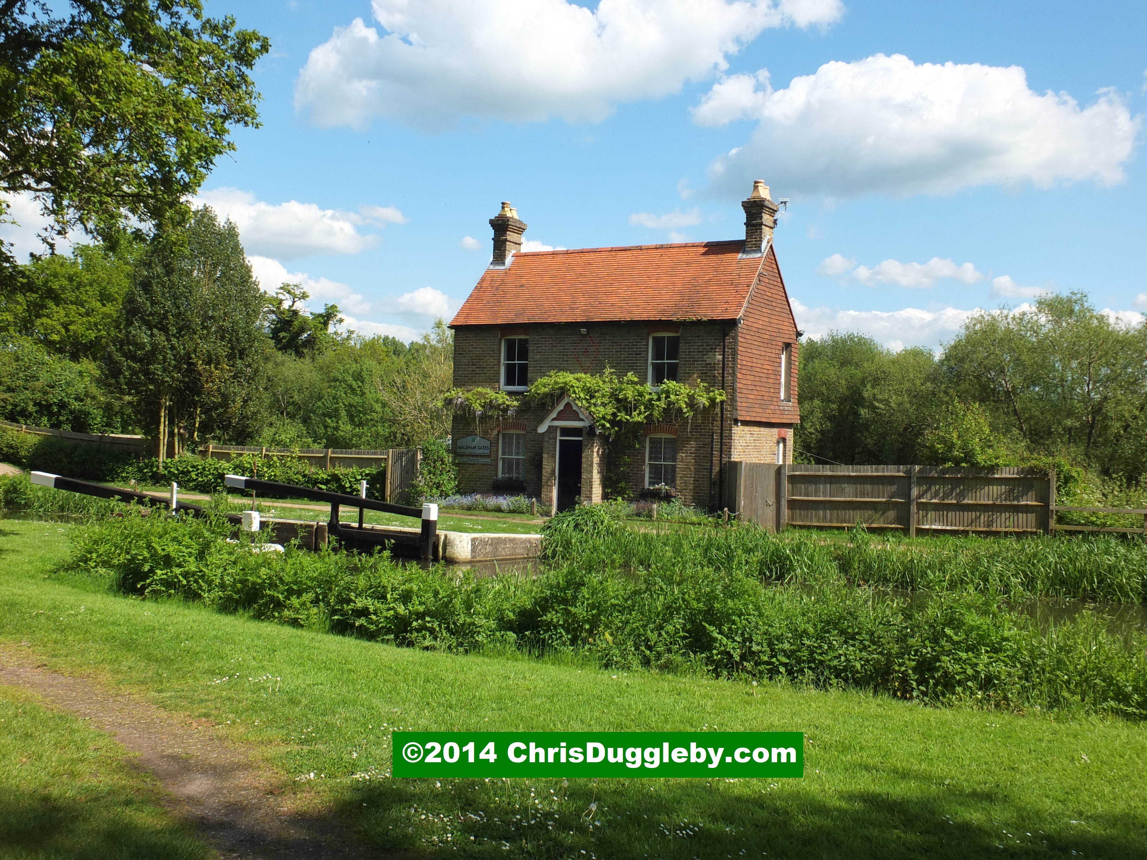
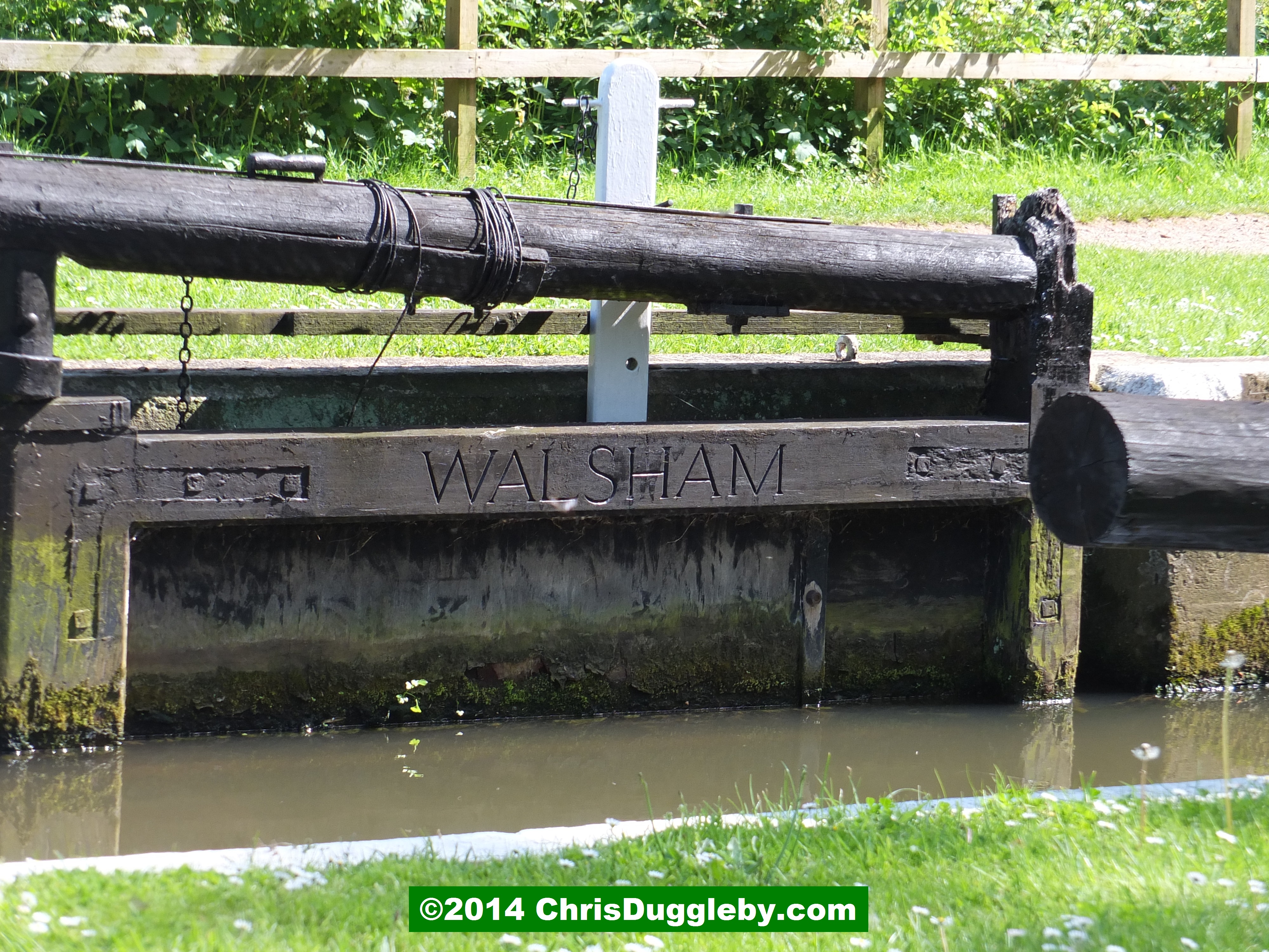
At the end of the country lane you will reach Walsham Lock. Immediately facing you is Walsham lock cottage. You can cross the water using a footbridge to your left.

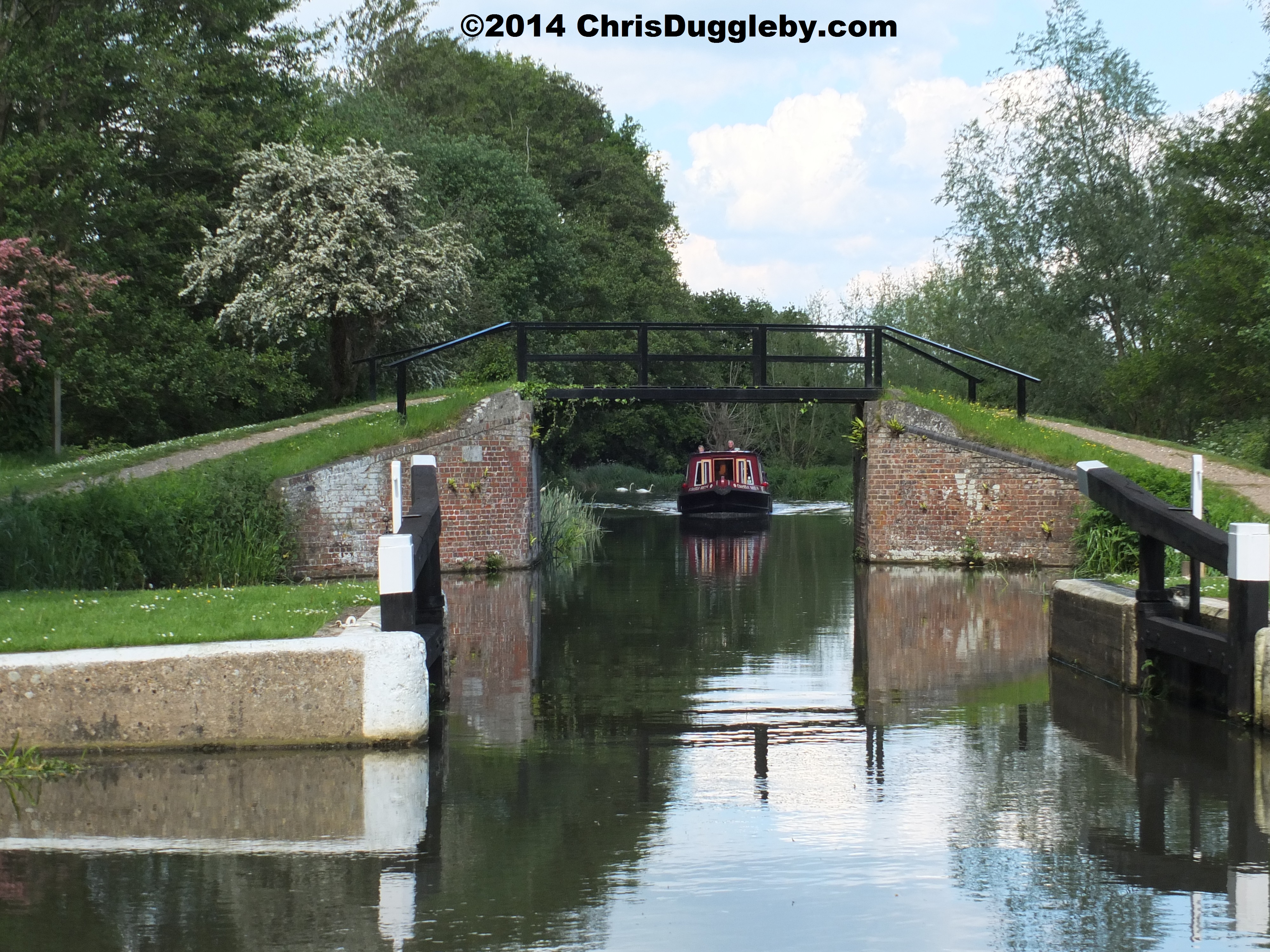
Once you have crossed the footbridge walk right along the path past Walsham Lock cottage and on your left you will see a Weir on the River Wey.

Cross the footbridge over the weir. As you cross you can admire the equipment built in 1931 which is still in use.

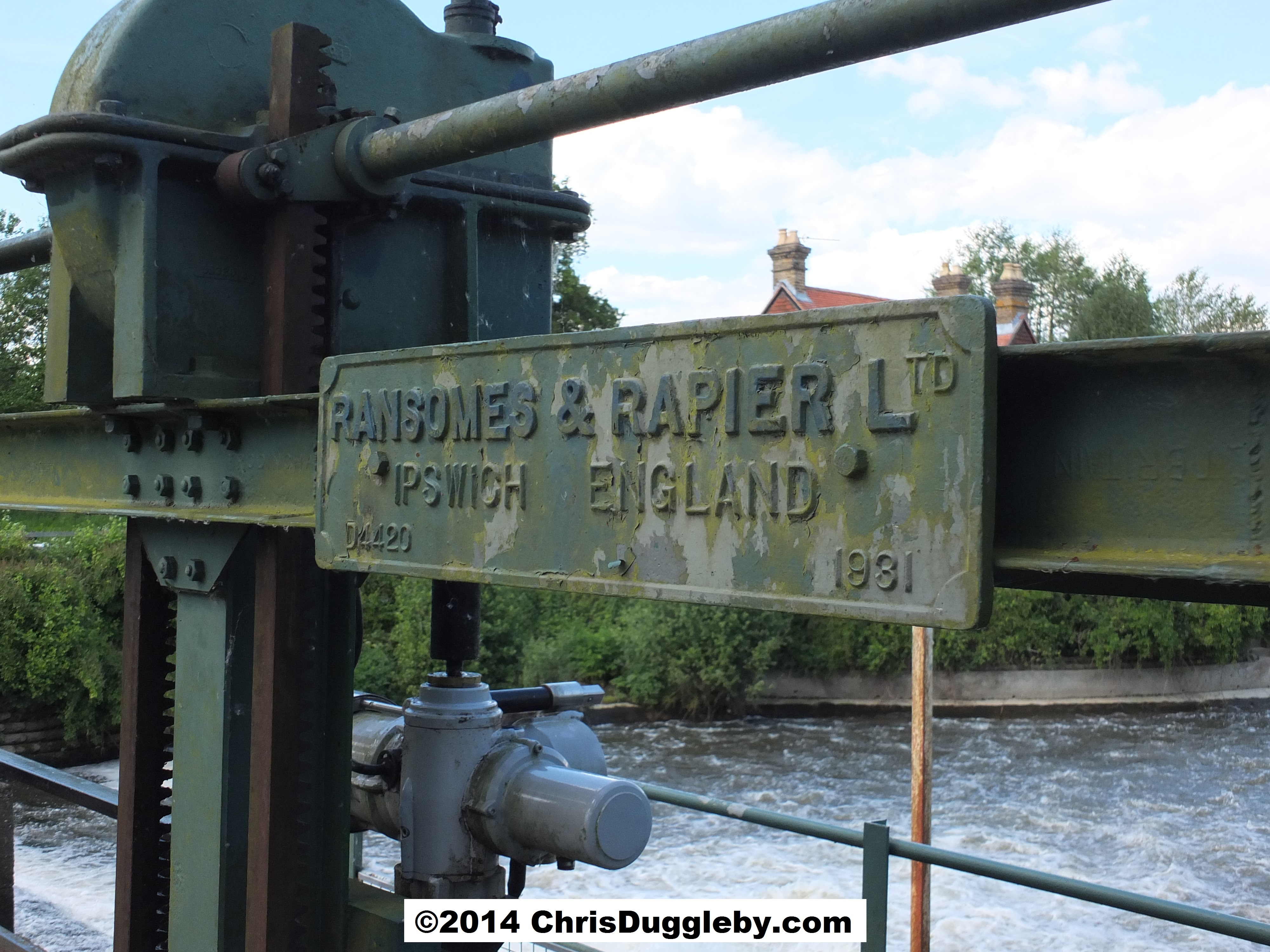
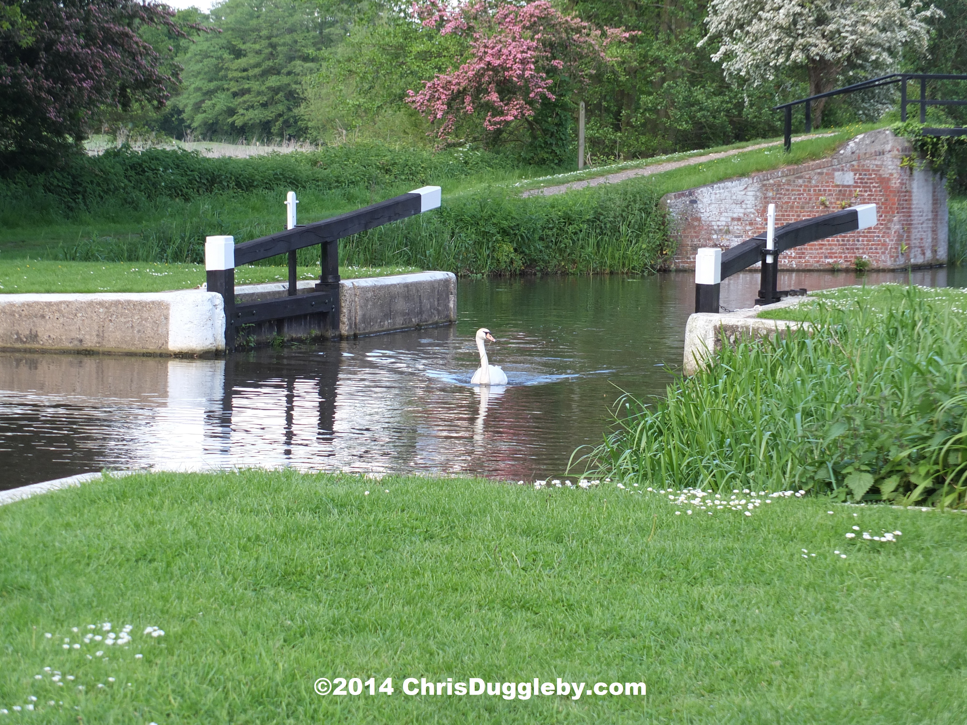
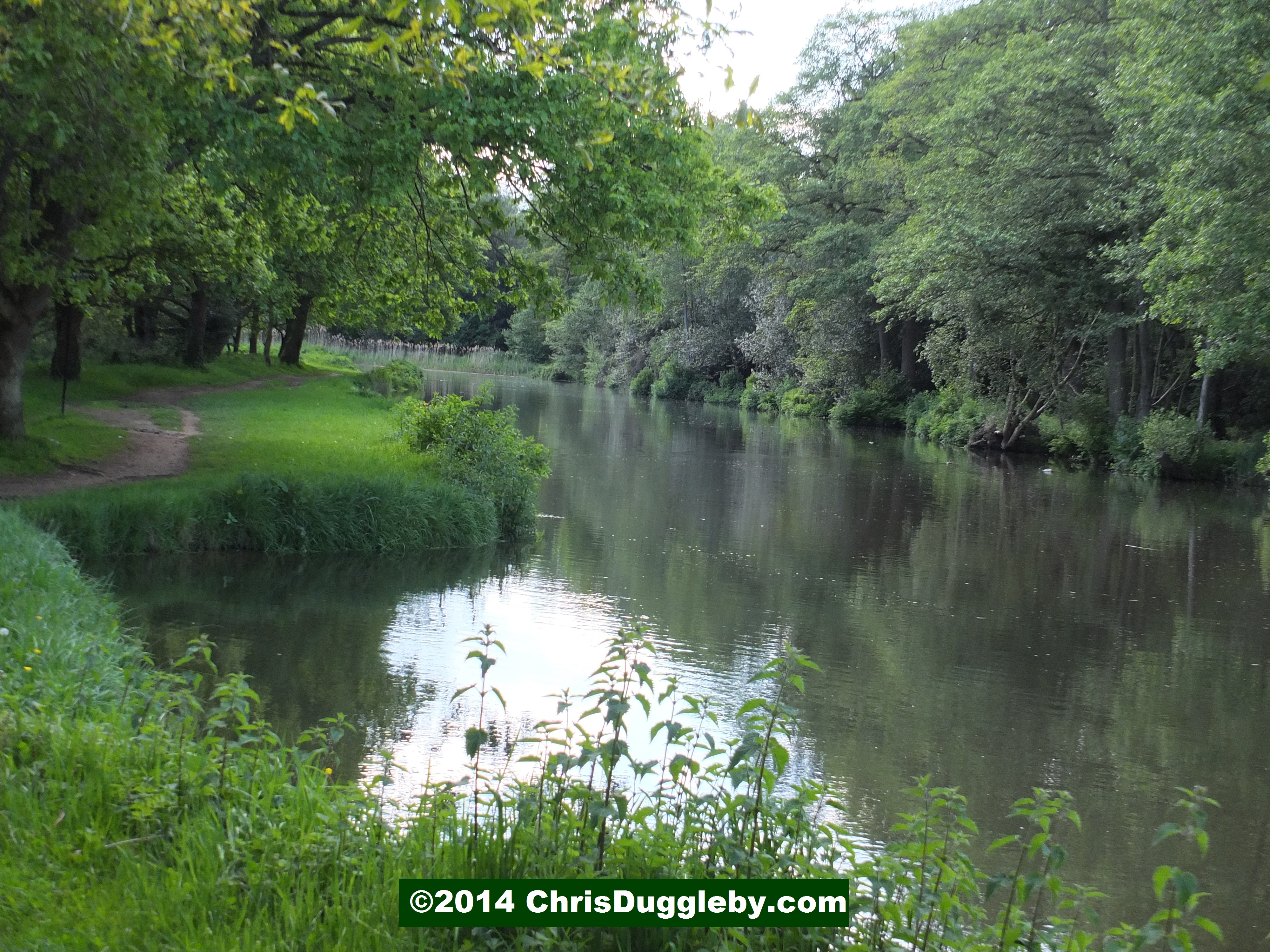
After the Weir turn right along the river Wey and enjoy the views as you walk along the riverside.
After a few minutes and a couple of bends in the river you will see the Ruins of the Newark Augustinian Priory which was established between 1189 and 1199 – roughly the same period as we have been able to trace back the Duggleby Family. If you have not seen it already here is the link to the Duggleby Family history page. Interestingly some of our earliest documentation about the family came from another ancient Augustinian priory at Bridlington – these documents are described in one of my previous articles (link here). In a later blog I will include some more pictures and information about the Augustinian Priory at Newark.

Cross over to the other side of the river Wey at the locks near the ruins of the priory and follow it until you reach another country road (Newark Lane, B367). Turn right here and as you walk along the road you will be able to enjoy some more views on your right of the priory from the other side. Just past the priory the road crosses a stream (the Abbey stream) and on the left is another footpath which takes you across some rather uneven countryside eventually leading to a path by the side of a water treatment facility. Follow this until you reach some houses. During very wet weather some parts of the uneven countryside can get waterlogged so be careful where you tread – for such treks it is well worth investing in sensible hiking boots.
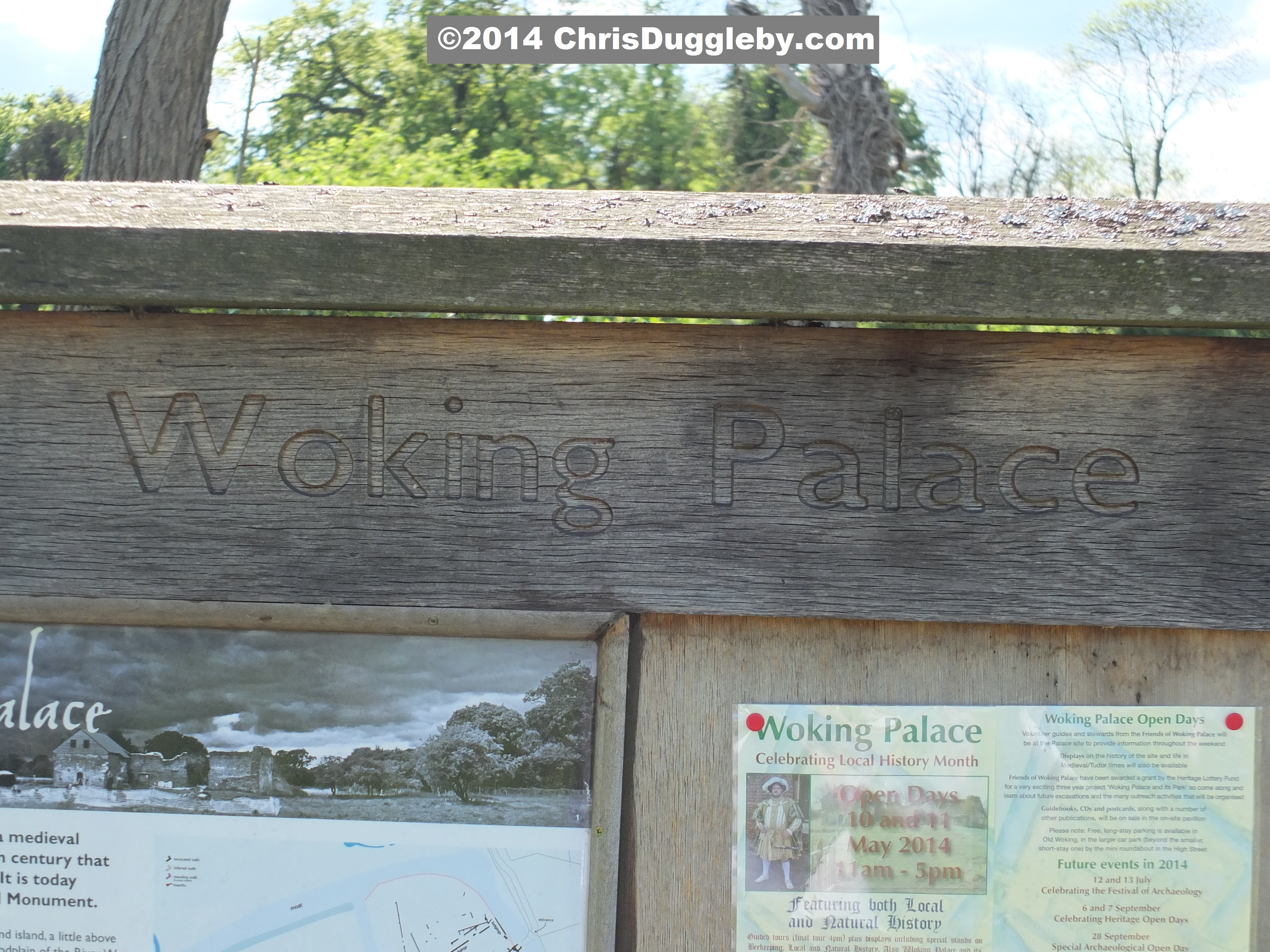
At the houses turn left, follow the footpath and after about 200 yards you will find the entrance to Woking Palace.
By this stage of my walk it was starting to get rather overcast but the picture below gives you a taste of what the palace ruins look like. In a later blog I will provide more photographs of Woking Palace and describe its interesting history in more detail. Much of the archaeological remains are actually below the surface of the ground. During 2014 there will be open days at the Palace on 12th/13th July, 6th/7th September and 28th September. Guides and Stewards from the Friends of Woking Palace will be on site to explain more about the excavations and life during Woking’s Medieval/Tudor period.

The circular journey back to the centre of Woking involves going back to the houses you just passed and then turning left along a lane which takes you all the way back to the busy road (B383) we crossed earlier at Hoebridge. You will need to cross this road and turn right along the pavement. Eventually you will come to the bridge over the Hoe stream and immediately before this you should find the pathway that you followed along the stream starting with the school playing fields. Retrace you footsteps back to Woking Park and then Woking Station/Centre is signposted clearly from the park.
I always find it is useful to do a bit of navigational research before setting off on a new journey using Google Map. If you want to do this I have embedded a map centred on Newark Priory below. The Priory Ruins are clearly labelled on the map. Woking Palace can be found next to Oldhall Copse. If you use the Satellite view you can generally make out the foot paths I have mentioned from above by following the lines of bushes and hedgerows that run along the sides of the paths. Use the +/- signs on the Google map to increase/decrease the level of detail.
I find this journey takes over 3 hours (but longer if I am taking pictures). At the end of it I was ready to take off the hiking boots, have a nice cool drink and enjoy the view from the sofa as the full moon rose over the countryside I had just explored.

If you have not read it already you may be interested in my other blogs describing the prehistoric burial mounds near the centre of Woking Town Centre. The links below will take you through to these – just click on the following titles:
Searching for Cannibals in Surrey
Prehistoric Britain (or more precisely: Prehistoric Woking!)
and of course we must not forget that Woking is where the Martians first invaded the Earth in H.G. Well’s novel ‘War of the Worlds’. If you are interested in the high definition pics of the Martian landing site take a look at the following blog:
The beach where the Martian invaders landed
I will try and share some more information about walks round Woking and Surrey in future blogs. Good luck with the flab!
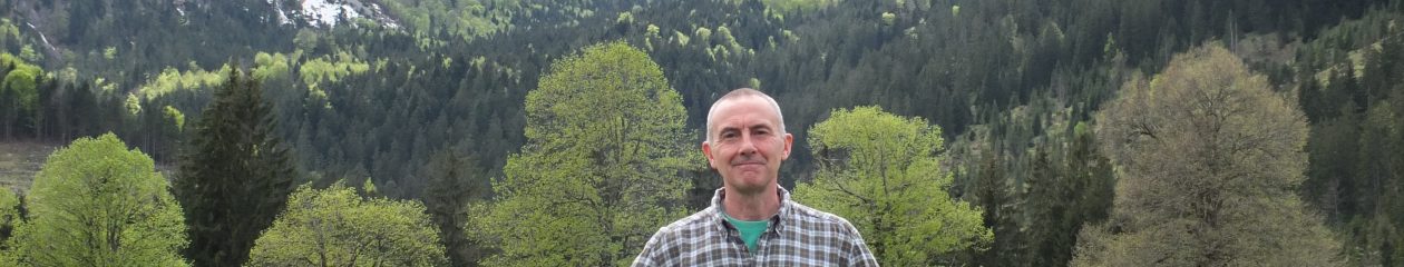
Chris Duggleby
If you are interested in reading my other health focused articles try the following
Torture In The Shower – Face and Body Soap Allergies – Main Suspect: Pears Transparent Soap
Toxic Chemicals in Sex Toys – 18 Vibrators, Cock Rings, Love Balls Tested – Only 3 Get All Clear
My T-shirt Made Me Sick – Textile Allergies – Sinusitis From Your Underwear

Awesome photography. Would love to walk around in the area you live in and soak up the History and beauty.
Thanks Linda,
You encouragement all the way from the USA makes the effort worthwhile (and carrying my rather heavy camera in the middle of a hot summer’s day takes a bit of encouragement!). Interestingly the town of Woking is considered to be a fairly new town here – I suspect many of the residents do not even know we have prehistoric burial grounds, abbey ruins and royal palaces all within walking distance of the town centre.
Kind regards,
Chris.